

Nagaland Governor Nand Kishore Yadav on Friday reviewed the Planning and Transformation Department’s planning framework, flagship initiatives, geospatial innovations, Sustainable Development Goals (SDGs) and the State’s long-term development vision at a meeting at Lok Bhavan, Kohima.
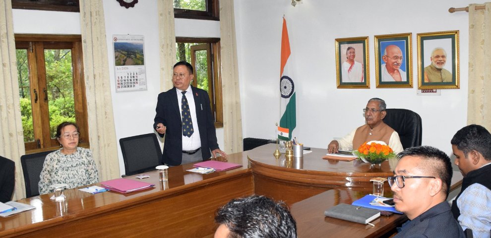
The presentation was made by Principal Secretary and Development Commissioner Y. Kikheto Sema, IAS, who briefed the Governor on the department’s role in formulating development plans, coordinating with NITI Aayog, MDoNER, NEC and Central ministries, and monitoring developmental programmes.
Sema informed that the Annual Plan Outlay for 2026-27 has been approved at Rs 1,350 crore, covering developmental departments, State share, Local Area Development Programme, land acquisition, budget initiatives and support for the Frontier Nagaland Territorial Authority. The meeting also reviewed sector-wise allocations and land acquisition expenditure.
The department’s implementation of Centrally sponsored initiatives through MDoNER, NEC, NESIDS and PM-DevINE was also discussed. Kiphire remains Nagaland’s Aspirational District, while Akuhaito, Khongsa and Thonoknyu have been identified as Aspirational Blocks. Thonoknyu has received performance-based incentives from NITI Aayog.
On SDGs, the Governor was briefed on Nagaland’s SDG Vision 2030 and district-wise indicators. Mokokchung, Kohima and Dimapur were identified as the leading districts in the North East Region SDG Index.
The meeting also reviewed the Nagaland Institute of Transformation (NIoT), established with NITI Aayog support under the State Support Mission. The institute is preparing the Viksit Nagaland @2047 Vision Document, which is currently under review and will be finalised following approval by the High-Level Steering Committee and State Cabinet.
Sema stressed the need for enhanced Central support, stating that funding for Nagaland should be brought “at par with other North Eastern States” to bridge infrastructure gaps and accelerate socio-economic development.
The Nagaland GIS and Remote Sensing Centre showcased applications of geospatial technology, drones, artificial intelligence and remote sensing in governance, including village and urban mapping, disaster management, landslide monitoring, traffic management, medical drone delivery and drone-based agriculture. More than 1,300 villages have been mapped.
Yadav appreciated the department’s technology-driven approach and stressed “evidence-based planning, effective coordination” and timely project execution. He called for planning to remain people-centric, transparent and result-oriented, with optimum utilisation of resources to ensure inclusive development.
Senior officials of the department and GIS and Remote Sensing Centre attended the meeting.