
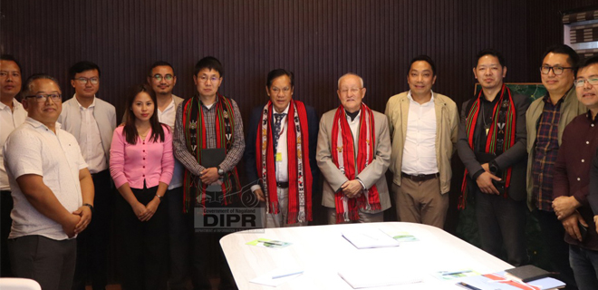
Two members of the North Eastern Council (NEC), Ministry of DoNER, Tenzing Norbu Thongdok and Longki Phangcho, during a visit to the Nagaland GIS & Remote Sensing Centre, directed the department to update and maintain comprehensive spatial data for all NEC-funded projects. They emphasized the urgent need to capture cadastral mapping, life-saving drug distribution, and road connectivity data to health centres across the state to improve governance and service delivery.
The members also urged the department to foster partnerships with other states to share innovations and achievements in geospatial technology.
Senior Director Mhathung Kithan briefed the delegation on the centre’s activities, highlighting projects such as the Geospatial Command & Facilitation Centre, a web-based centralized Geospatial Unit operating in 15 stakeholder departments, and UAV-acquired high-resolution imagery of 13 urban stations.
The delegation toured the drone division, witnessing demonstrations of drone applications and research. The NEC members commended the centre’s innovative use of UAV technology, recognizing its transformative potential in regional planning and governance.
The visit ended with praise for the Nagaland GIS & Remote Sensing Centre’s contributions to advancing geospatial technology and promoting interdepartmental collaboration in the state.


